|
Earth Explorers is all about taking a closer look at our world and being able to describe it and ask questions about it and how we interact with it. Many Earth Explorers are called geographers.
They look at what types of environment
different places have and why they are like that.
They categorize and list the traits of a place
or location. Some work to educate others about their environment. Others work with officials
for city planning and development.
But most importantly, they focus their study and research on the five main themes of geography; Location, Place, Human/Environment Interaction, Movement, and Region. (Think MR. HELP) |
|
|
Questions Geographers Ask

|
|
|
|
|
|
MAPSA 2D flat representation of part or all of the Earth. A map can show all of the Earth at one time, but it often distorts the size of continents. It can also be very detailed allowing you to visually represent only part of a place in great specificity. Maps can be made out of paper, plastic, or even painted on a playground.
|
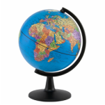
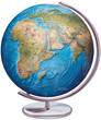
GLOBESA 3D spherical representation of the Earth that is to scale. A globe can show the size of the continents to scale, but it can only show half of the Earth at a time. A globe can not easily show roads or buildings because it is not big enough to show so much detail. Globes can be made out of plastic or even a beach ball!
|
The Problem with Maps...
Mercator Map
|
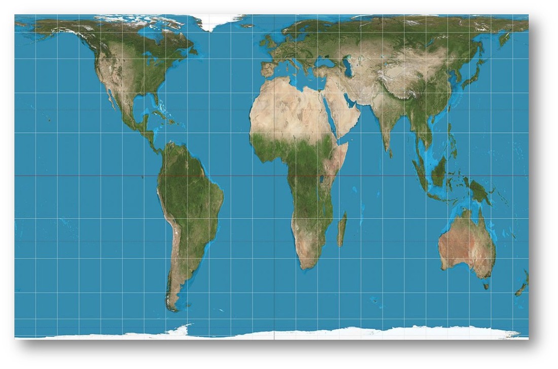
The Mercator Map was designed in 1569 by cartographer Gerardus Mercator. This style of map hung in U.S. classrooms for years. It probably looks very familiar to your adult family members. However, it has been criticized because it exaggerates the size of northern countries and distorts the actual size of other countries to be smaller. This makes those countries seem bigger and more important and that is not fair or right. |
Gall-Peters Map
|
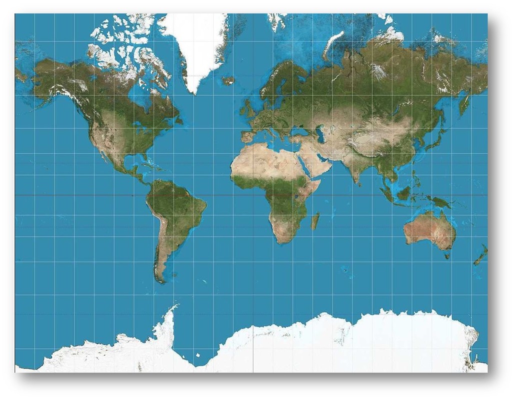
The Gall-Peters Map of Earth shows the size of countries more accurately. Many city governments decided it would be best to introduce the Gall-Peters style map of Earth to schools, because it shows the size of countries more accurately. However, The Gall-Peters map shows the correct sizes of countries, but it also distorts them. Countries are stretched horizontally near the poles and vertically near the Equator, so although the size may be right, the shape definitely is not and ends up distorted. |
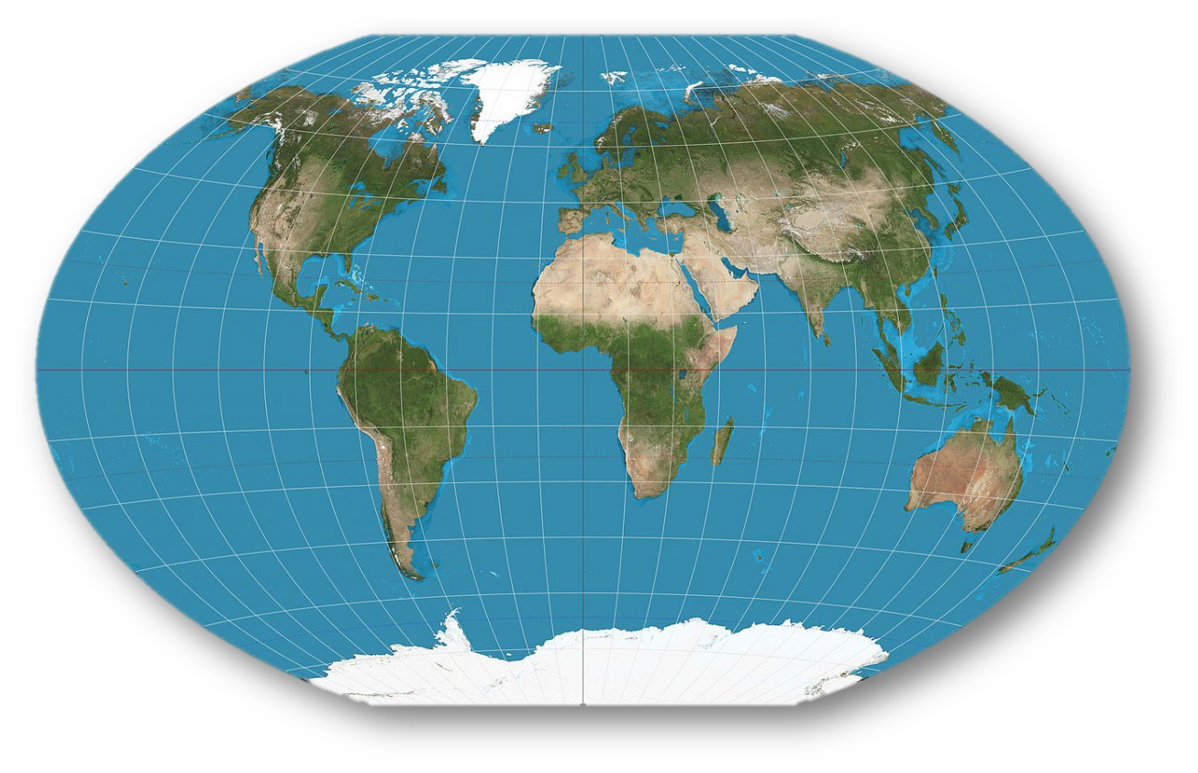
Winkel Tripel Map
|
The problem is, it's impossible to stretch the 3D sphere shape of the Earth onto a 2D sheet of paper. No matter which way it's done, there will always be a compromise somewhere on shape, size, direction, distance or scale. National Geographic adopted the Winkel Tripel Map in 1998, and it was designed in 1921 by Oswald Winkel with the intention of minimising three area, direction, and distance distortion. |
|
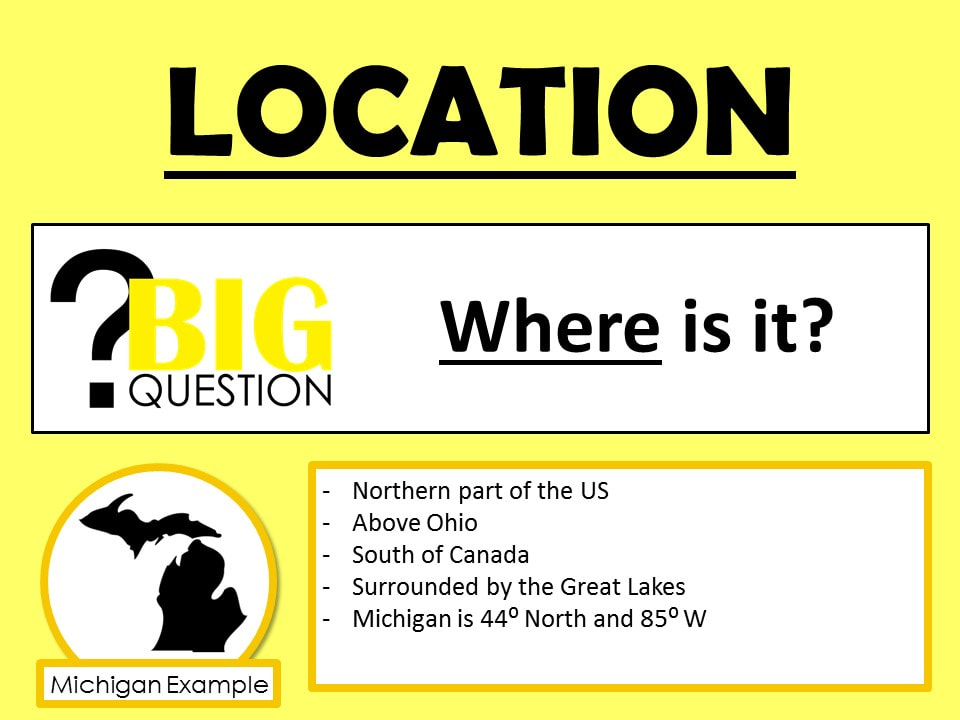
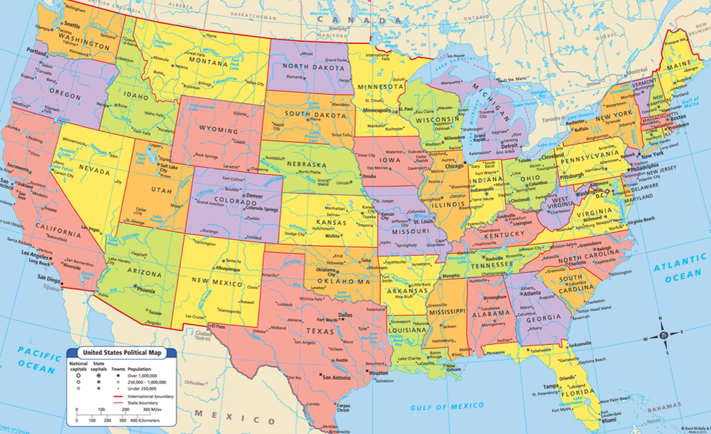
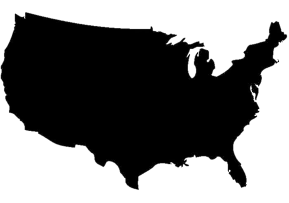
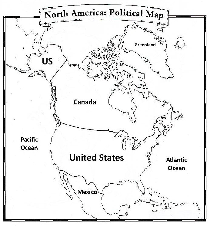
Where is the United States?
|
Describing the location of a big place like the United States can be kind of challenging. That is why it can be helpful to describe where a place is located in relation to another place. This is called relative location. |


|
The Relative Location of the United States
The United States is below Canada.
The United States is above Mexico. The United States in inbetween the Pacific and Atlantic Ocean. The United states is near Greenland. The United States is under Canada. The United states is left of the Atlantic Ocean. The United States is in the middle of Canada and Mexico. The United States is next to Mexico. The United States is right of the Pacific Ocean. The United States is on top of Mexico. |
|
|
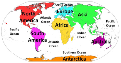
The Relative Location of Continents
|
|
|
|
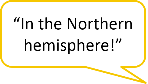
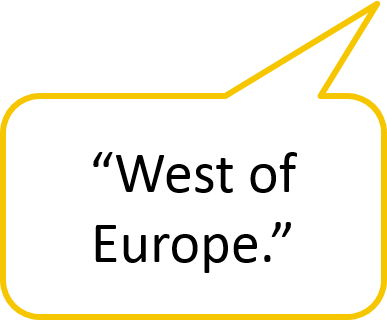
Sometimes it is helpful for us to know a more specific location of a place, or its absolute location. Geographers do this by using an invisible grid system placed over the globe known as lines of latitude and longitude. Because of this invisible grid system, geographers are able to use latitude and longitude to find the absolute location of any place in the world!
Equator: an imaginary line that divides the Earth into Northern and Southern hemispheres.
Prime Meridian: an imaginary line that divides the Earth into Western and Eastern hemispheres. hemisphere: a region created when the Earth is divided in half. |

|
Where on Google Earth is Carmen Sandiego?
Welcome to ACME, Gumshoe.
Are you ready for your first assignment? The Crown Jewels have been stolen from London. This looks like the work of Carmen Sandiego and her crew of VILE operatives. I'm sending you to the scene of the crime. Track Carmen Sandiego from London to her hideout and arrest her! Good luck, Gumshoe!! |
|
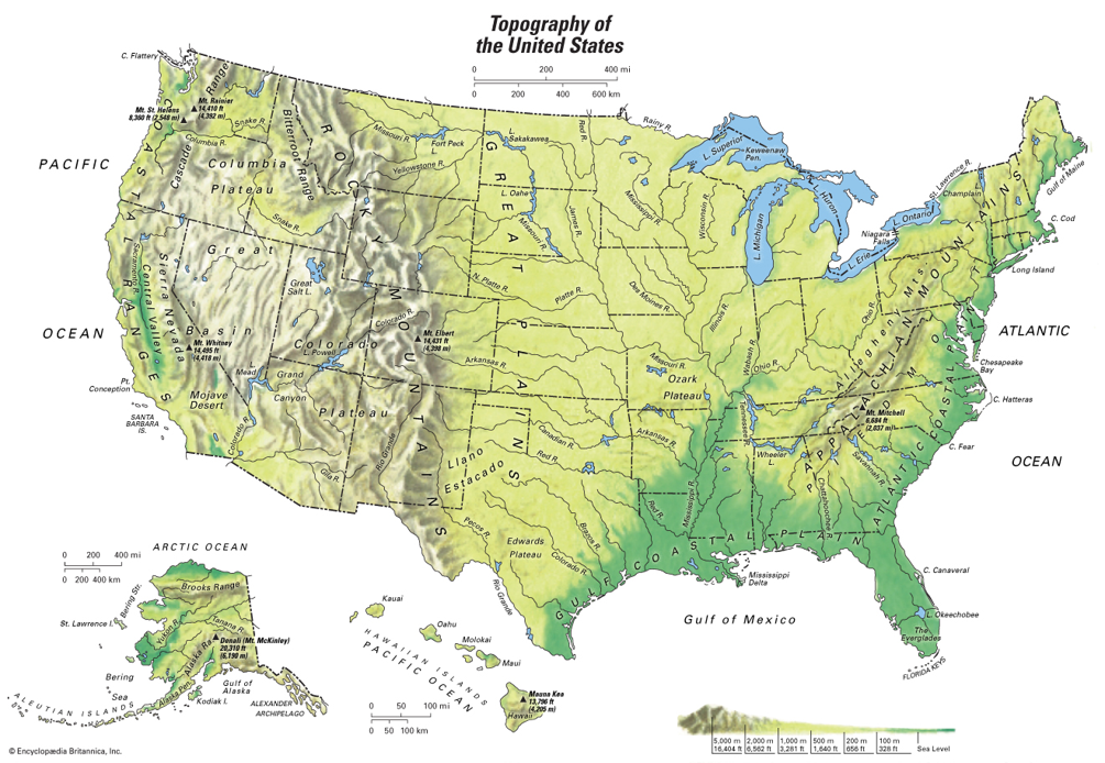
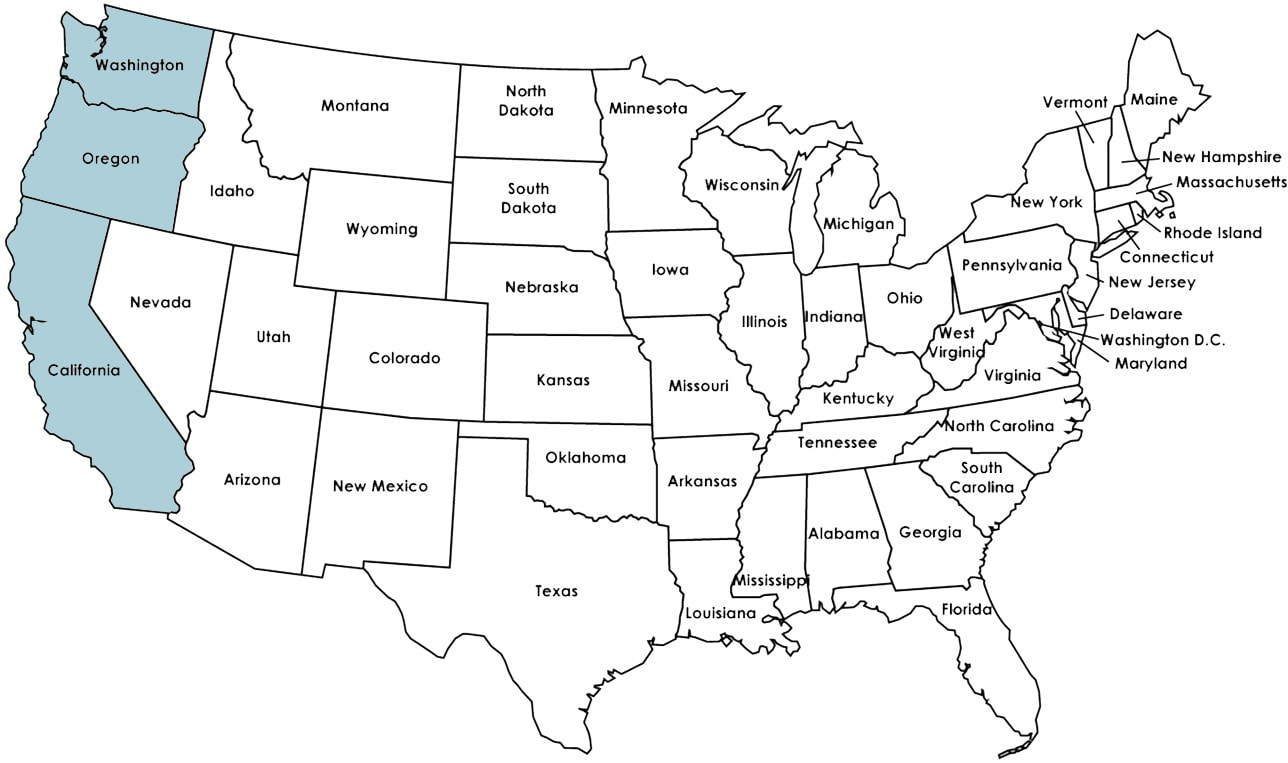
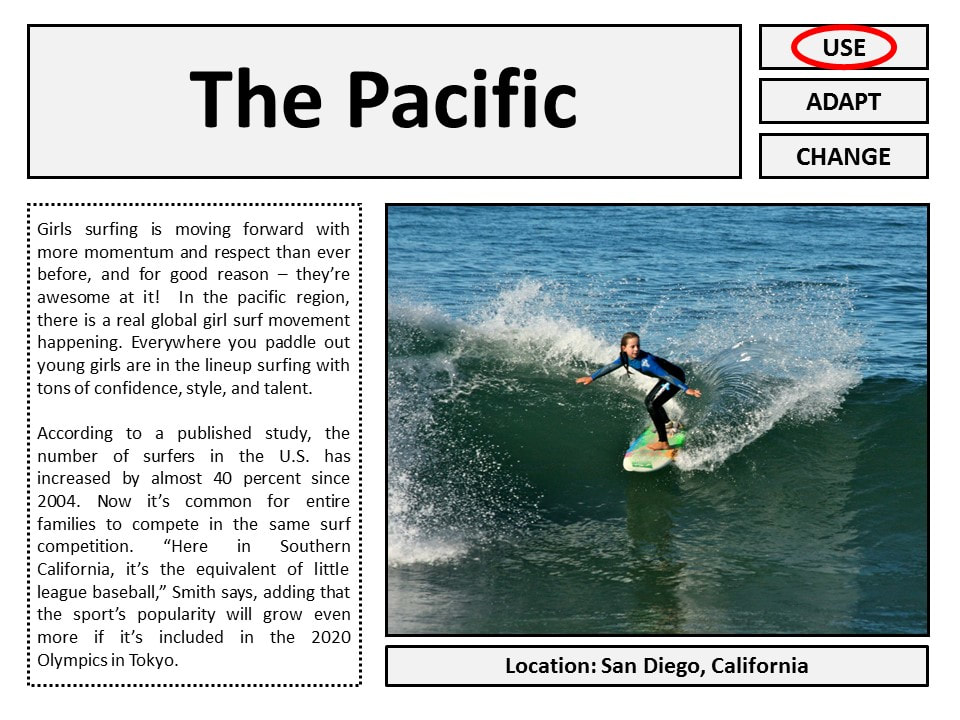
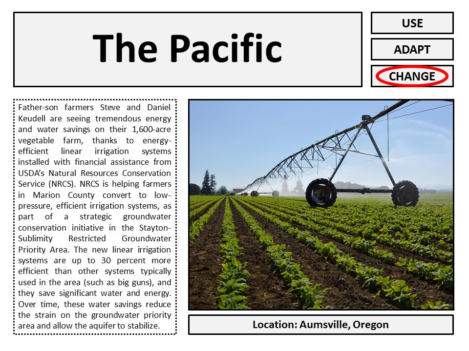
The Pacific
|
The Pacific region of the US is characterized by its location adjacent to the Pacific coast. It has many coastal plains but also numerous mountain ranges. Depending on the latitude, the weather ranges from cold and wet, to warm and dry. This also results in varied landscapes, from lush wooded forests to dry arid deserts. This region is known for agriculture that can yield produce year round.
|
|
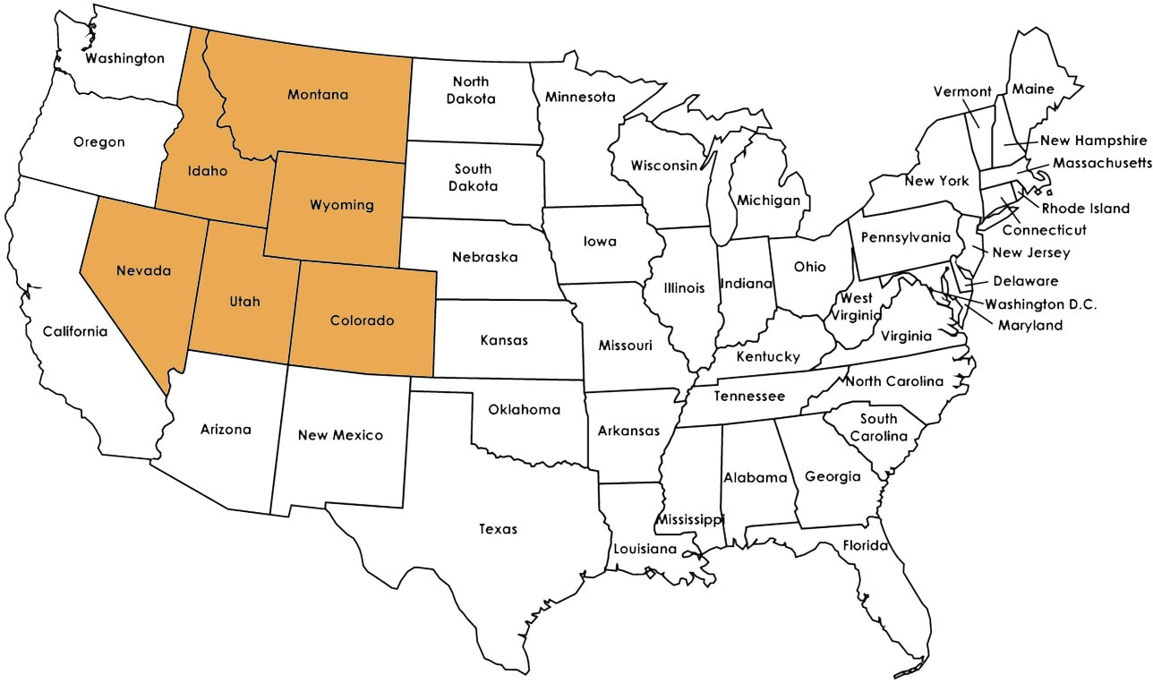
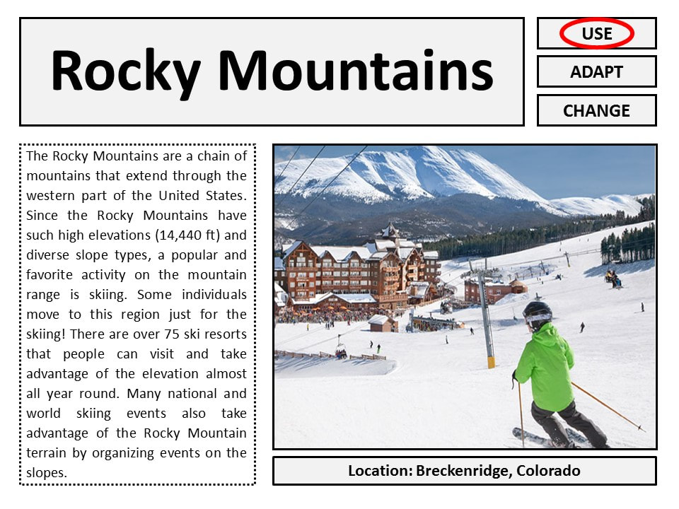
The Rocky Mountain
|
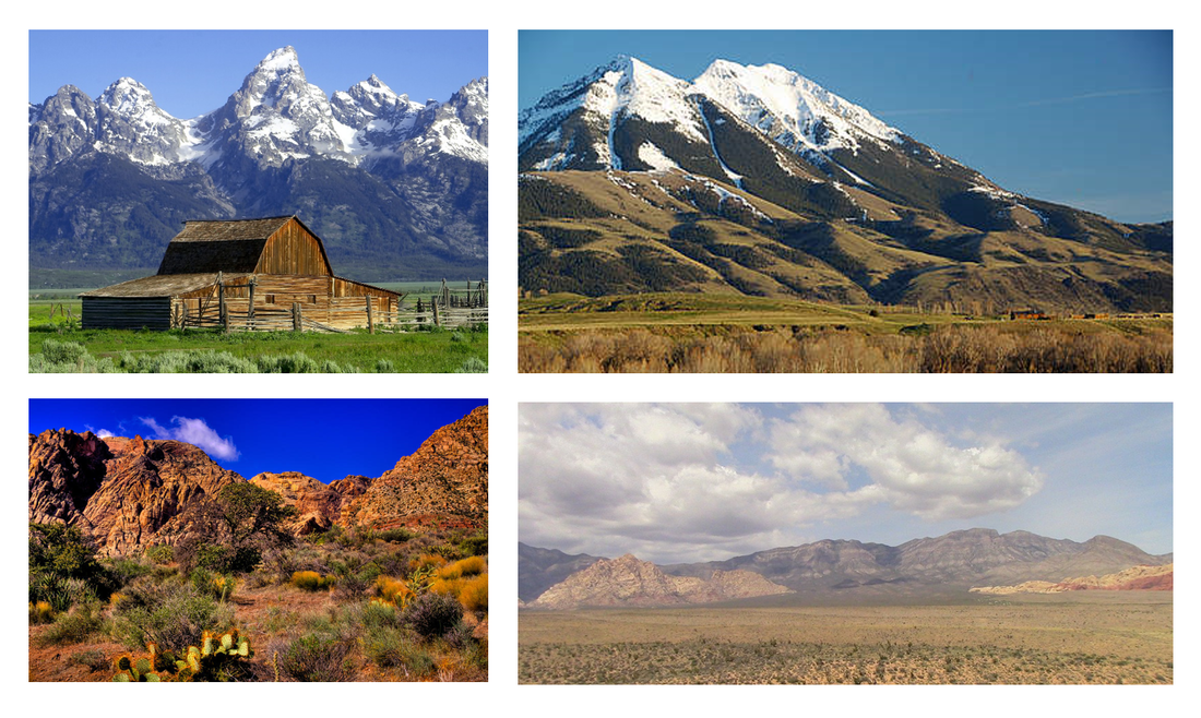
The Rocky Mountain region of the US is characterized by warm and dry summers but mountain rain and thunderstorms can occur. The winters can be wet and are usually very cold in the high elevations of the mountains. In these areas, precipitation falls as heavy snow in the winter.
|
|
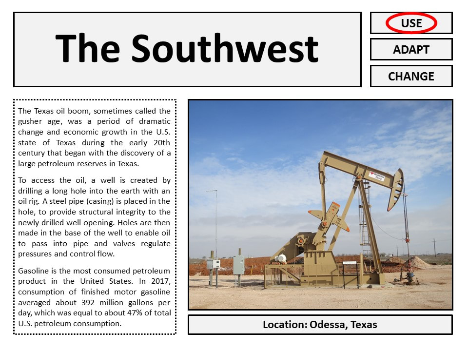
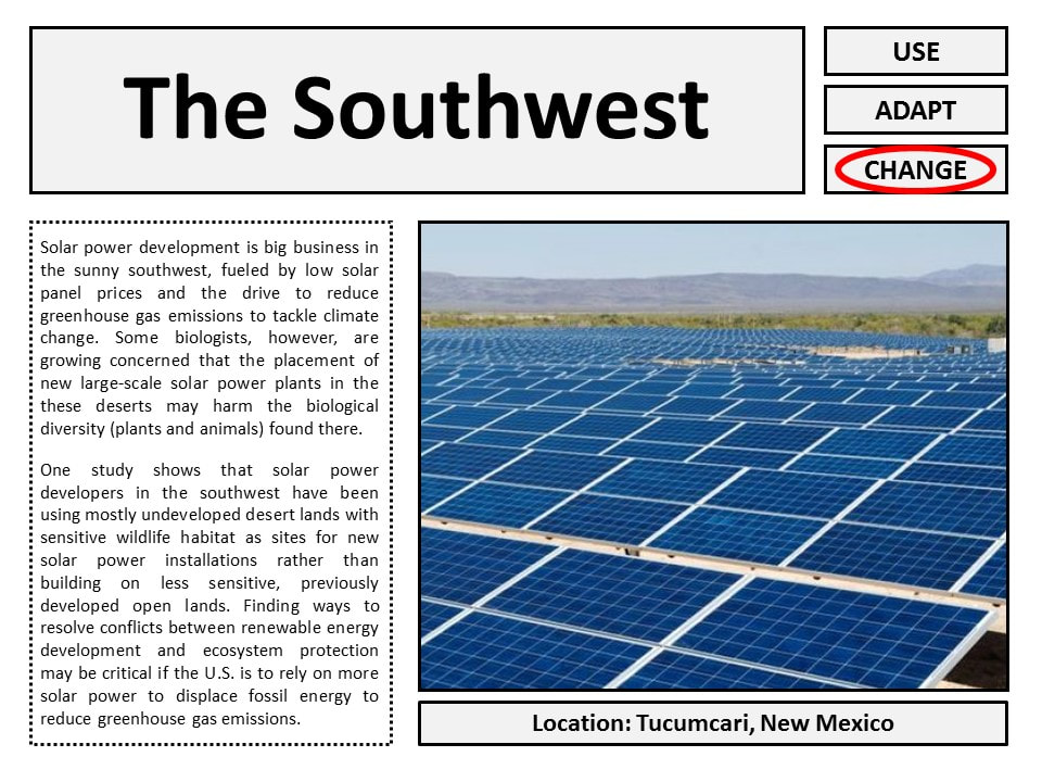
The Southwest
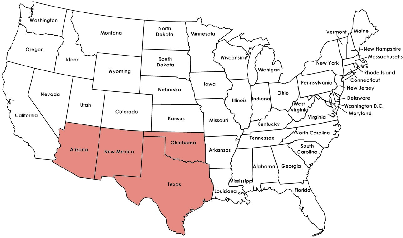
|
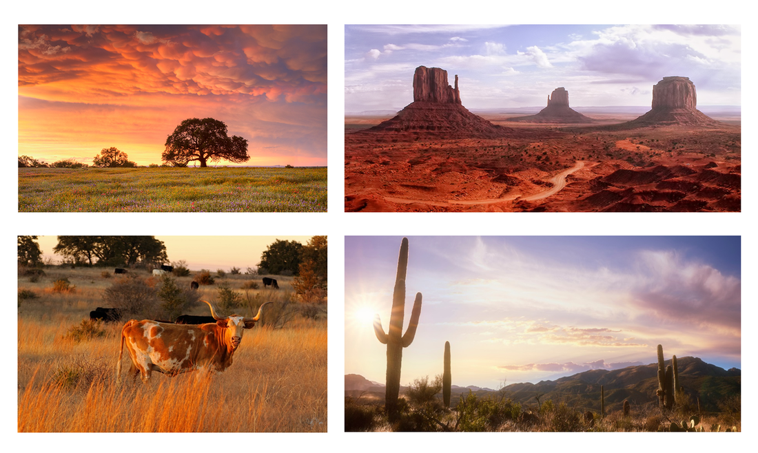
The Southwest region of the US is warm and dry for most of the year. It has beautiful deserts and canyons and is home to the Grand Canyon, a world-renowned physical characteristic. The unique collection of animal life found in the region provides a distinct ecosystem (ex: cattle, armadillos, coyotes, rattle snakes).
|
|
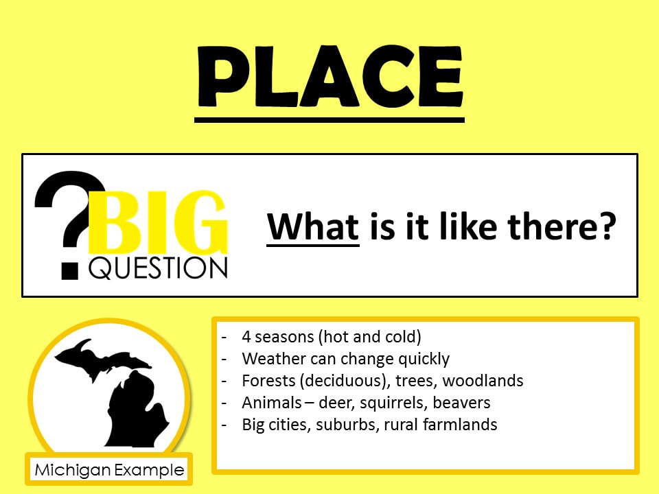
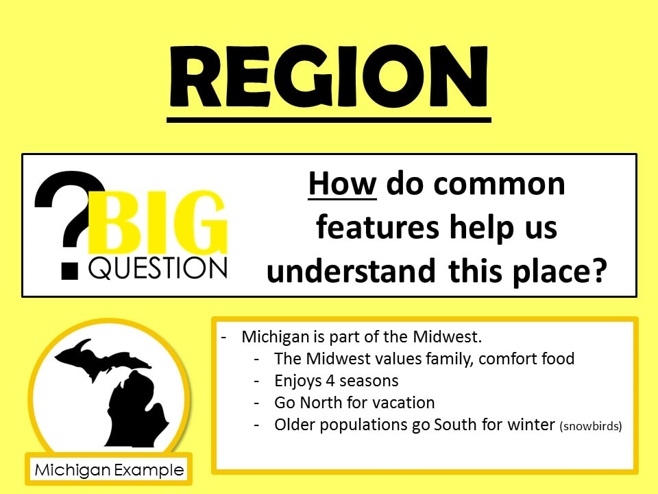
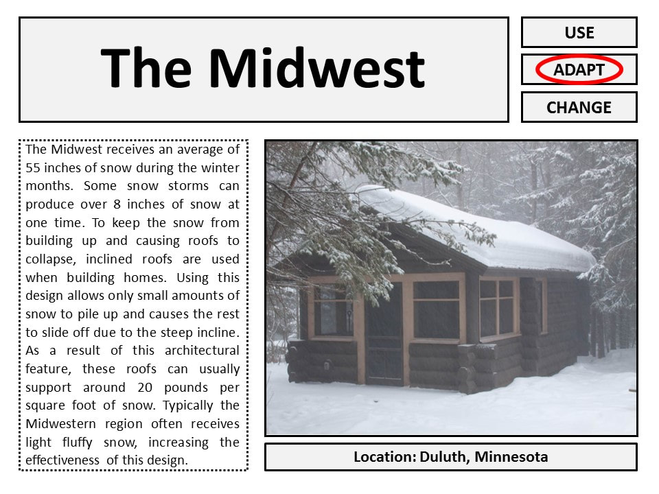
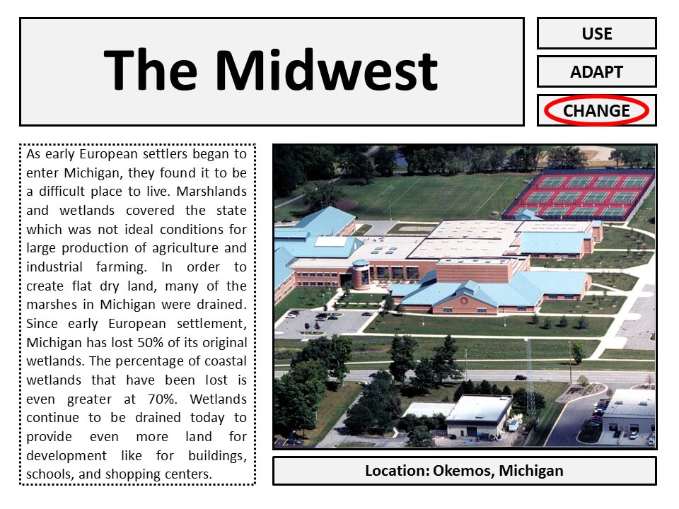
The Midwest
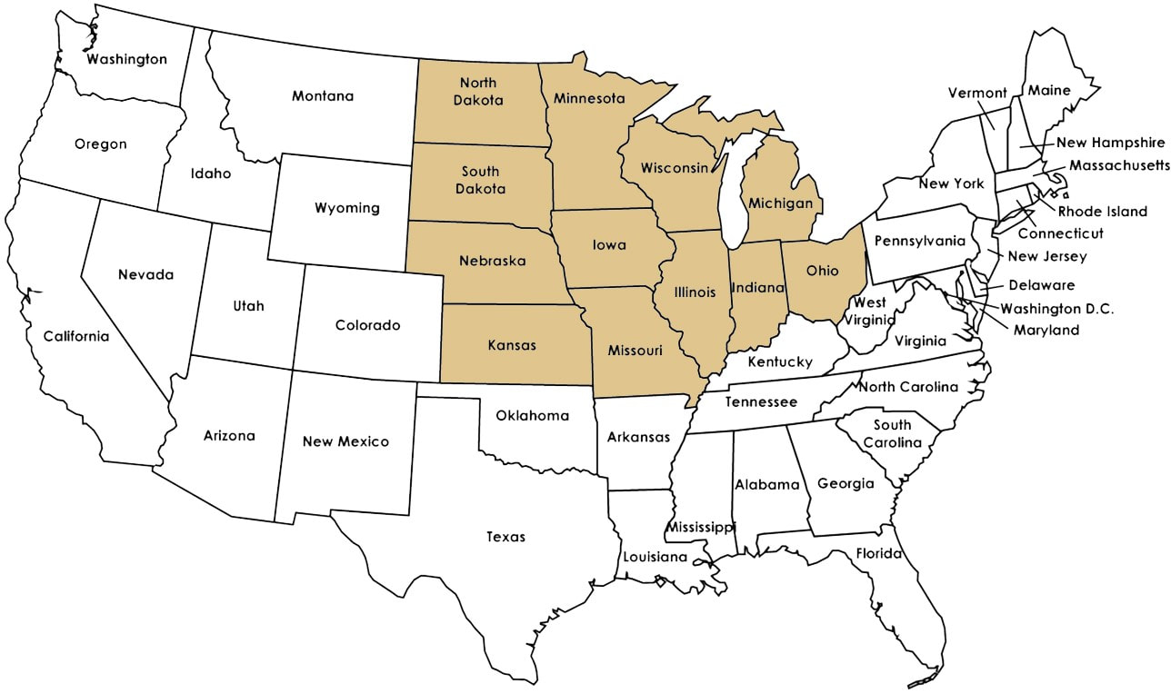
|
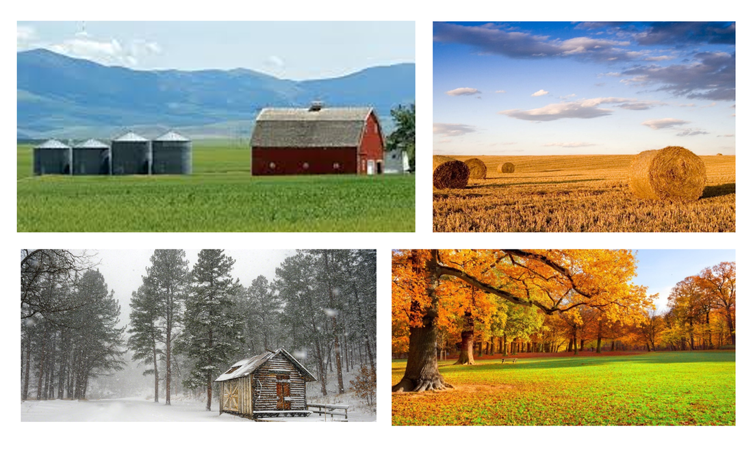
The Midwest region of the US is characterized by the large forests
and flat, grassy plains. Big rivers like the Mississippi, Ohio, and Missouri run throughout the region and the unique Great Lakes (Lake Erie, Lake Huron, Lake Michigan, Lake Superior) are a main focus of the region. Agriculture is the largest economic activity due to the large amounts of available farmland. this region also experiences all four seasons. |
|
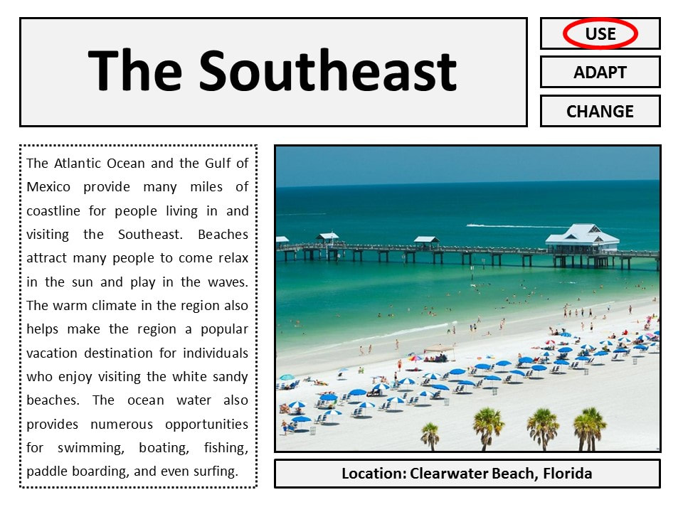
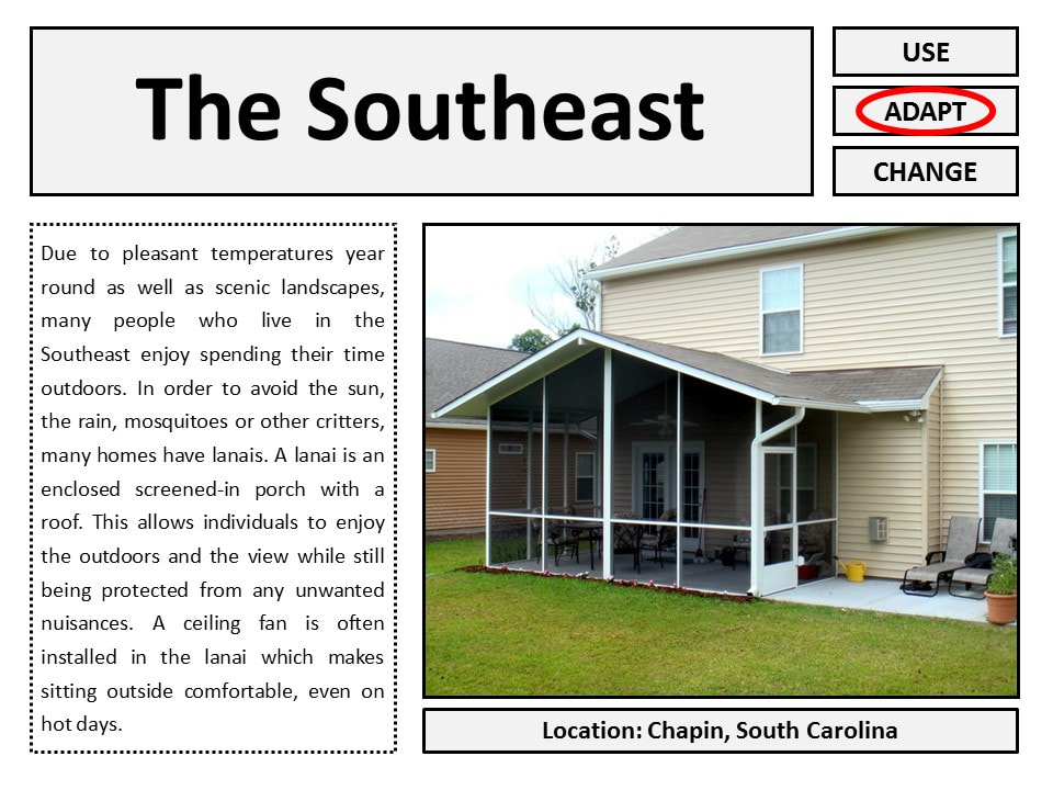
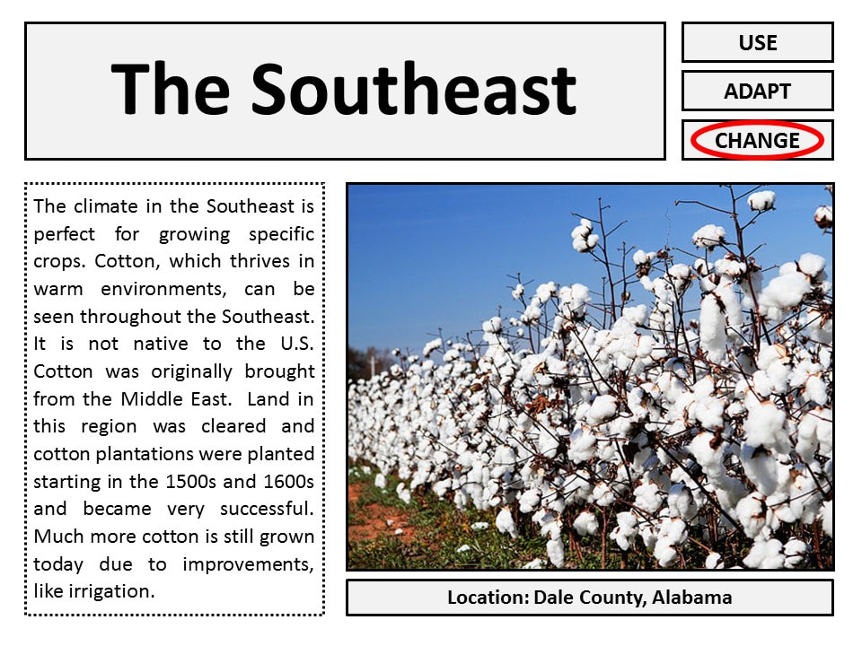
The Southeast
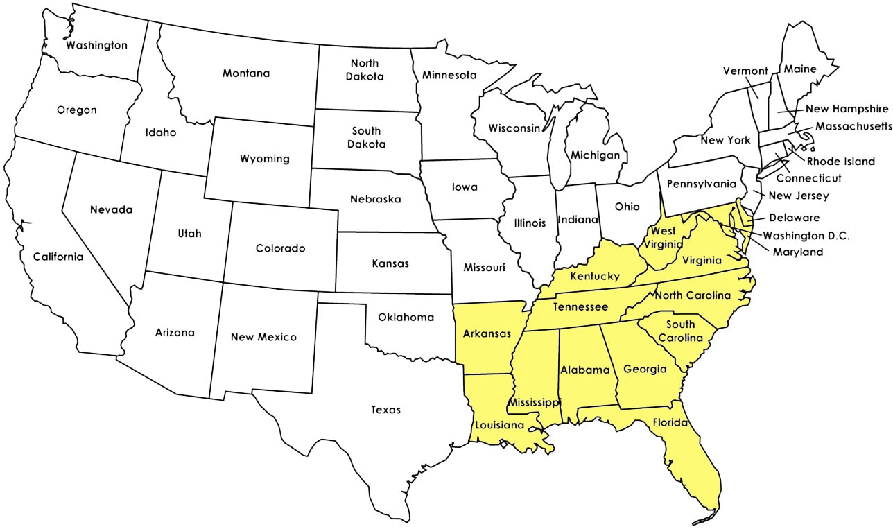
|
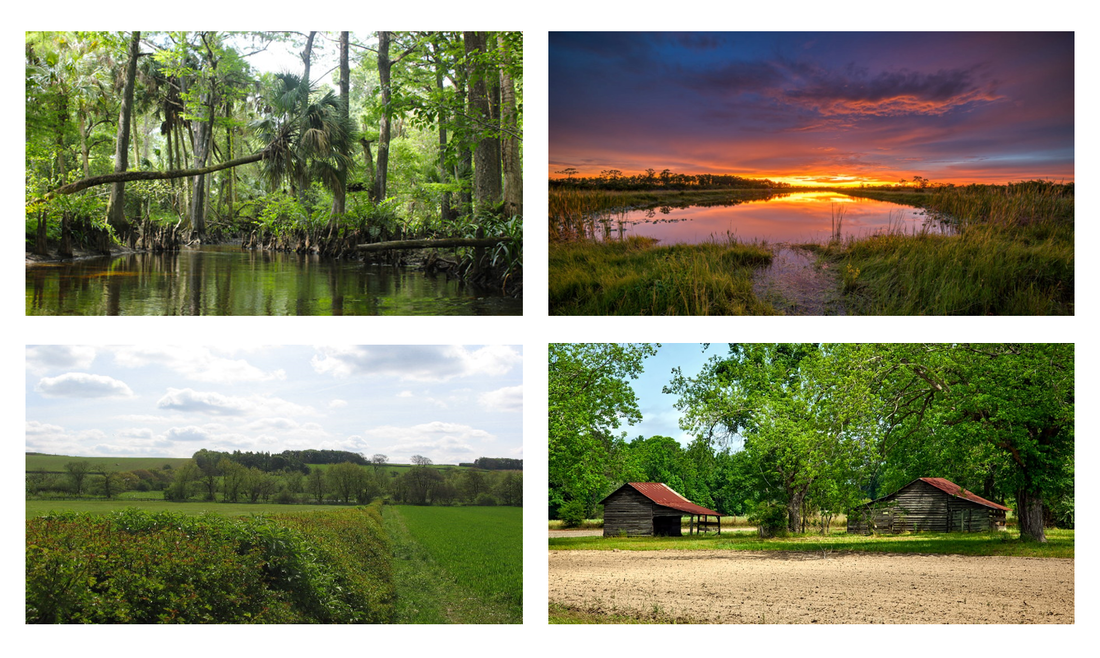
The Southeast region of the US is varied in elevation. The Appalachian Mountains begin to flatten towards the east and form into the Atlantic Coastal Plain. It also contains part of the Mississippi Rivers and Red Rivers which flow through the region.
There is great farmland due to its rich soils, warm climate, and heavy rainfall. Swamps and marshlands are also a notable characteristic. |
|
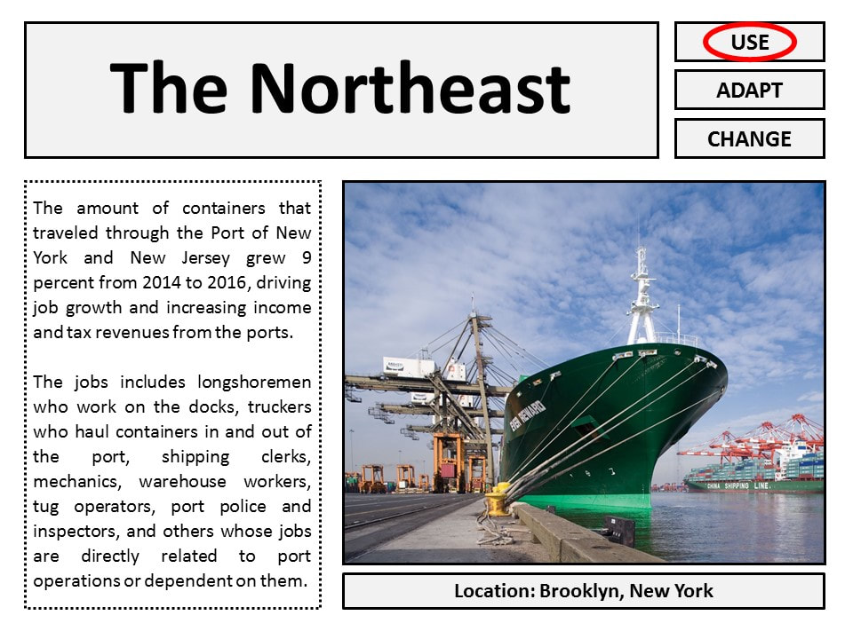
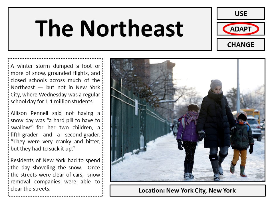
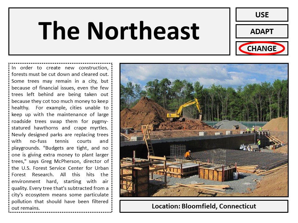
The Northeast
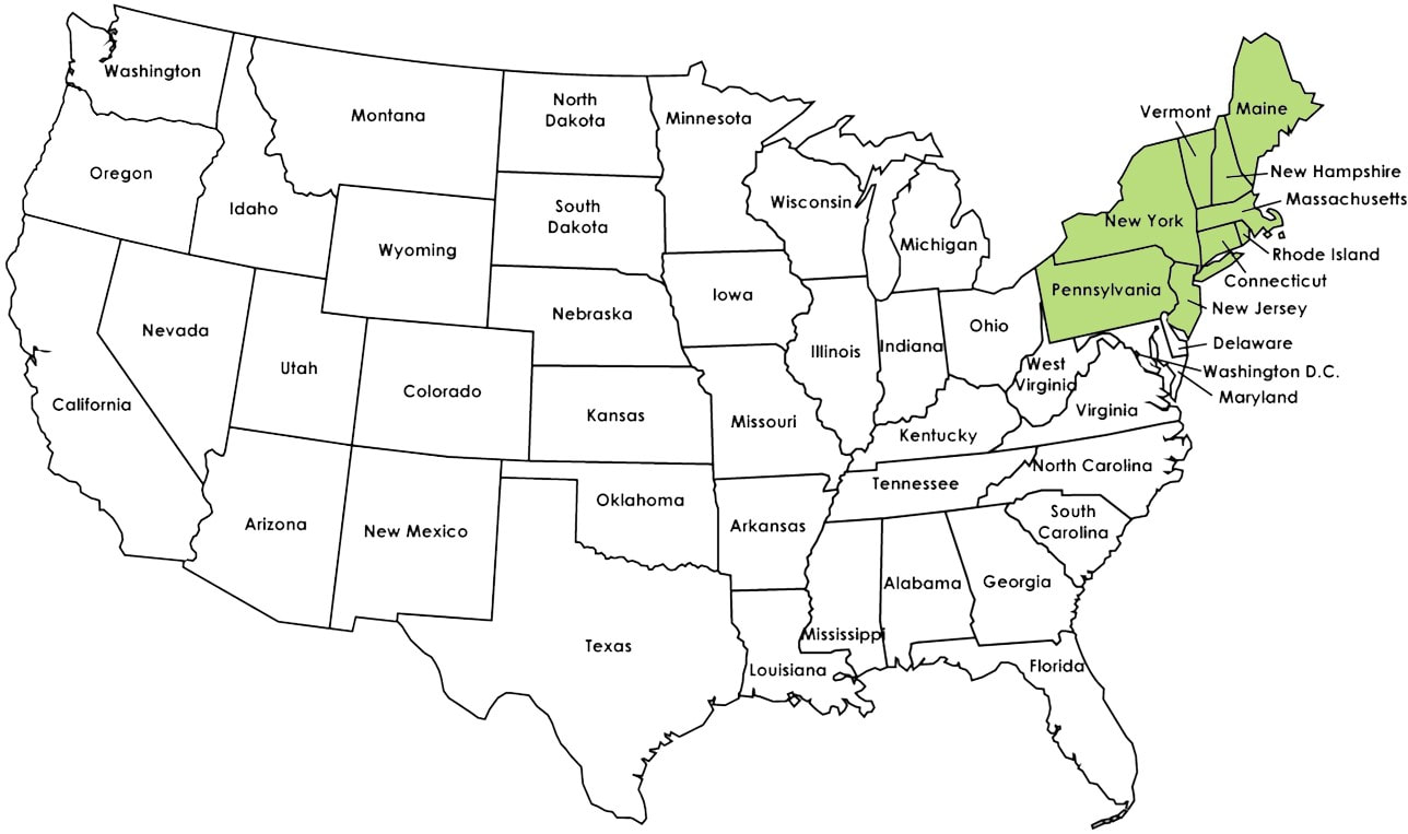
|
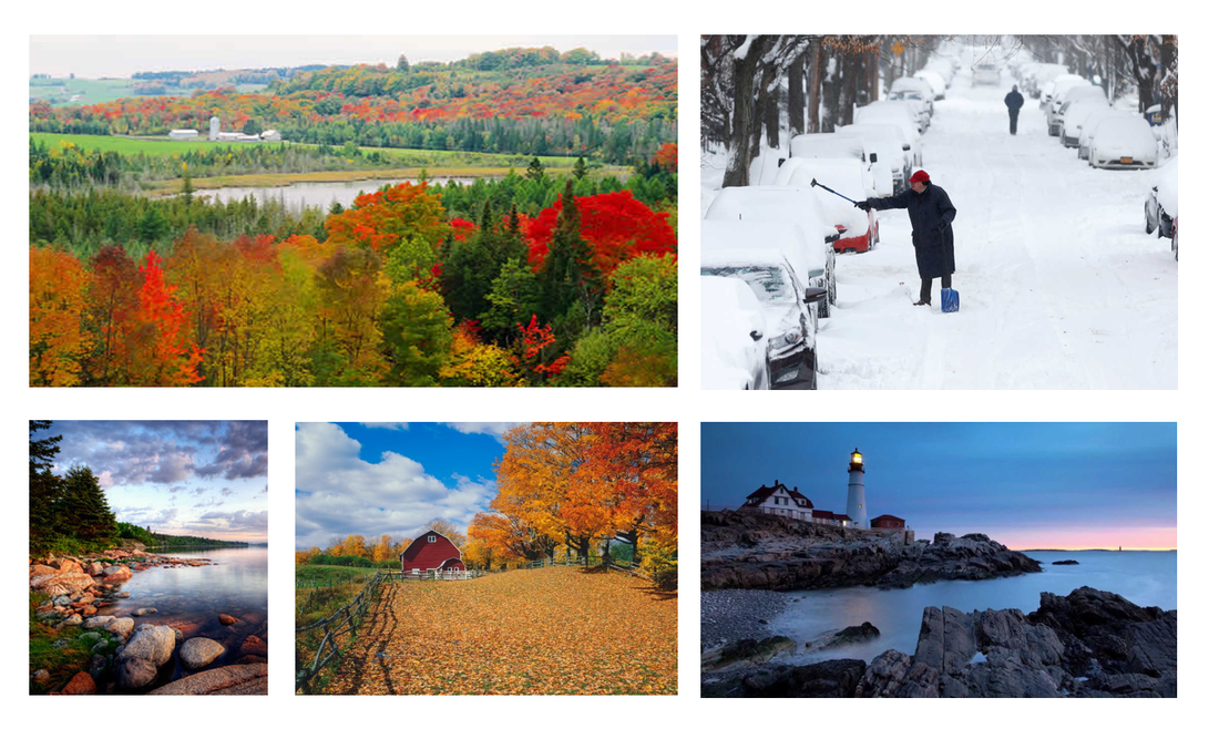
The Northeast region of the US has all 4 seasons. It is characterized by harsh winters and warm summers. The Appalachian Mountains run from Georgia through Maine and provide varied elevation throughout most of the region. Along the coast the Northeast is hilly and rocky and there are more farmlands towards the west of the region. Also, the Northeast contains many large cities that are high in population.
|
|
Mountain Range
rows of connected mountains 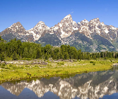
|
Plain
low-lying stretch of flat land 
|
Coastal Plain
low land that lies along an ocean 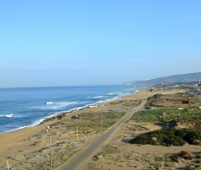
|
|
Plateau
flat land with higher elevation than a plain 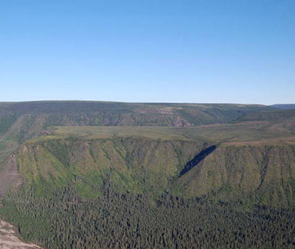
|
Basin
low area surrounded by higher land 
|
Valley
a low piece of land between two mountains 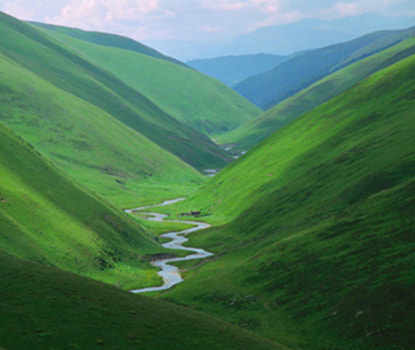
|
|
Canyon
a deep, narrow valley with steep sides 
|
Desert
a dry region that gets very little rain 
|
Gulf
part of a sea or ocean that cuts into land 
|
|
Important Physical Characteristics of the United States
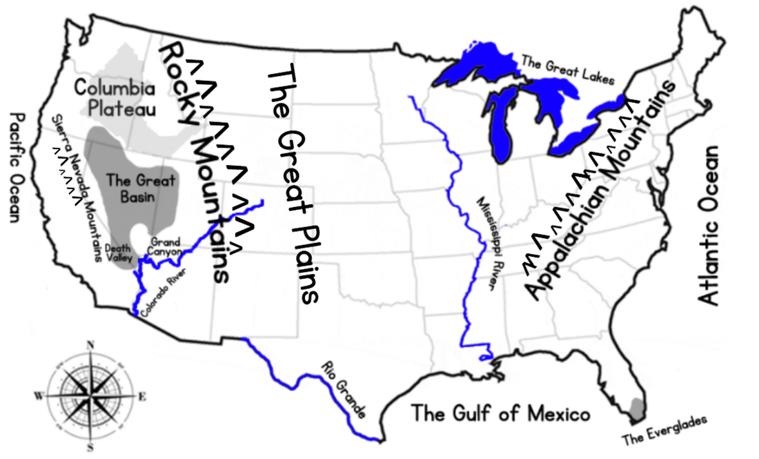
|
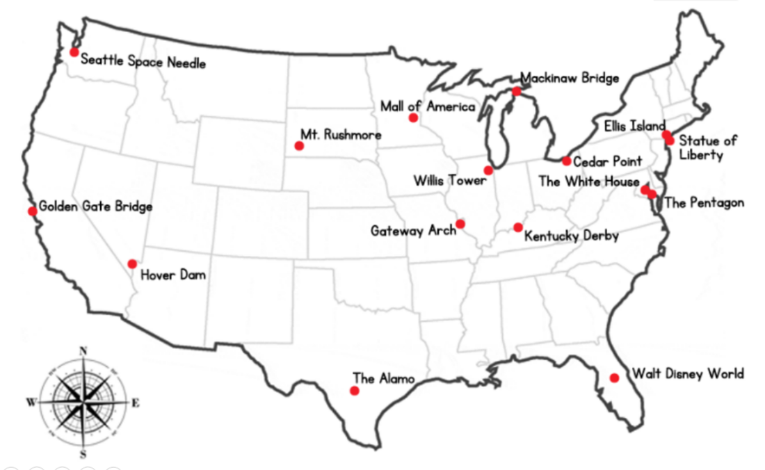
Important Human Characteristics of the United States
|


|
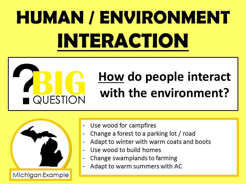
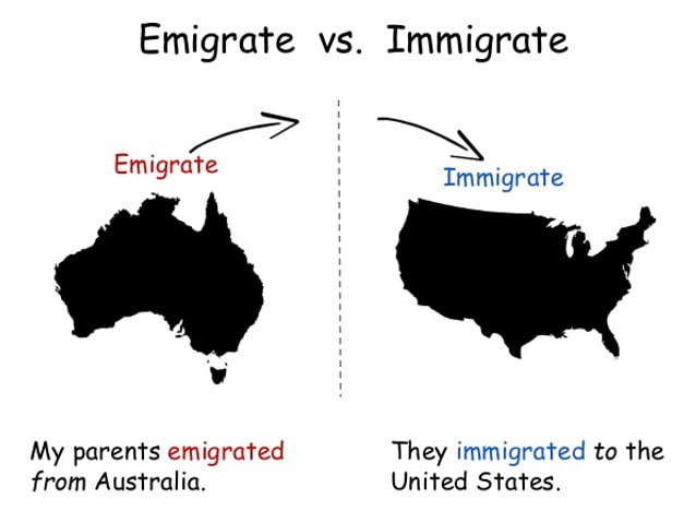
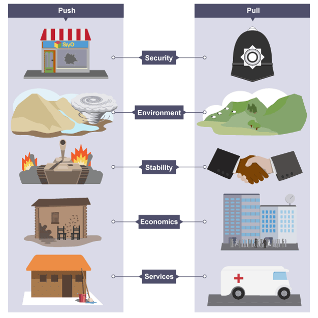
Why people move is a really important question that Geographers look at.
Remember… Geography isn’t just about where a place is and what it is like, it is also about the people who live in that place, who make the place interesting and unique. Understanding why people choose to come to a place (or in some cases, were forced to move) are important ideas to understand. Geographers look at movement to provide an example of where history and geography are connected. Both Historians and Geographers study how and why people have moved within the United States as well as to the United States from other places. |
|
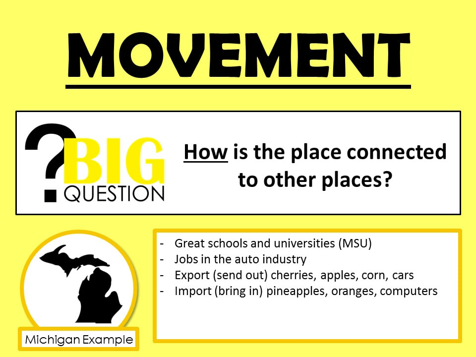
Geographers and Historians talk about push and pull factors when they study movement of people. This means that some reasons of why people move push people out of places.
For example, a shortage of good farmland in New England can be viewed as a push factor resulting in people leaving New England. Historians also investigate why people come to a particular place. The reasons that act as a magnet to pull people to a particular location. For example, good farmland acted as a magnet to pull people to Michigan in the early 1800s. |
|

|
Click HERE to give Mr. C. and Mrs. Parsons feedback about Earth Explorers.
|
